
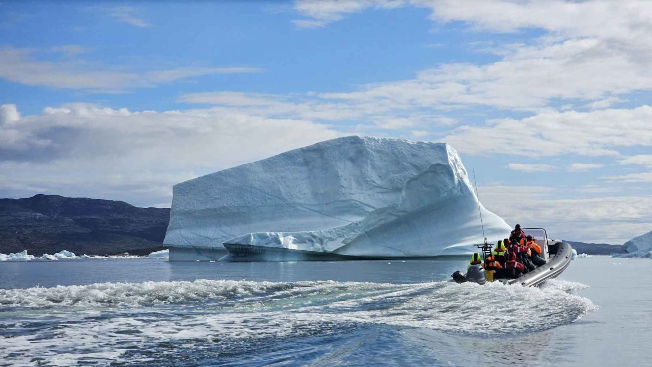
Sea levels are rising almost everywhere on Earth — but in one of the most counterintuitive twists in modern climate science, the ocean along Greenland’s own coastline is projected to fall, possibly by as much as 8 feet by the end of this century. That is not a typo, and it is not good news. It is a strange, physics-driven consequence of the very ice loss that is threatening coastlines everywhere else on the planet.
A study published on January 20, 2026 put real numbers to what researchers have long suspected: the more ice Greenland sheds, the more its local sea levels may actually drop. In a low-emissions future, waters along the island’s coast could fall by roughly 3 feet. In a high-emissions scenario, that drop could reach approximately 8 feet by 2100. For a warming world already anxious about flooding, this outcome sounds almost impossible — until you understand the two forces driving it.
Greenland is currently losing around 200 billion tons of ice every year. That staggering figure is what makes this story worth paying attention to, because the ripple effects are being felt in ways most people never expected.
The Physics Behind the Greenland Effect
There are two separate mechanisms at work here, and together they produce an effect that genuinely defies common sense.
The first is called glacial isostatic adjustment. In plain terms: when a massive ice sheet presses down on land for thousands of years, the ground beneath it compresses. Once that ice starts melting and the weight begins to lift, the land slowly rebounds — it rises. Around Greenland, this rebound is already happening, and as the land surface pushes upward, the relative sea level along the coast drops even if the actual water volume hasn’t changed.
The second mechanism is gravitational. This one is harder to wrap your mind around, but it is just as real. A massive ice sheet like Greenland’s exerts a gravitational pull on the surrounding ocean water — essentially drawing seawater toward it. As the ice sheet loses mass, that gravitational attraction weakens. The water that was being pulled toward Greenland’s coast is no longer held there as strongly, and it migrates away toward other parts of the ocean. So the local sea level falls even as global sea levels rise.
These two forces — land rising and gravitational pull weakening — compound each other. The result is what researchers are now calling the Greenland effect: a local sea level drop that runs directly counter to the global trend.
What the Numbers Actually Show
The January 2026 study gave this phenomenon something it previously lacked: hard projections tied to specific emissions scenarios. Here is what the research indicates for Greenland’s coastline by 2100.
| Emissions Scenario | Projected Sea Level Change Along Greenland’s Coast |
|---|---|
| Low emissions | Drop of approximately 3 feet |
| High emissions | Drop of approximately 8 feet |
It is worth emphasizing what this table is actually saying. A higher-emissions future — one with more ice melt, more warming, more damage to the planet overall — produces a larger sea level drop along Greenland’s coast. The more ice is lost, the more powerful both the rebound and the gravitational retreat become. The Greenland coastline effectively gets pulled in the opposite direction from the rest of the world’s shores.
Meanwhile, the water that retreats from Greenland has to go somewhere. It redistributes across the global ocean, contributing to the rising seas that threaten low-lying coastlines in places like Bangladesh, Florida, and the Pacific Islands.
Why This Matters Beyond the Science
It would be easy to look at a projected sea level drop and assume Greenland is somehow getting off easy. It is not.
Researchers note that the same process could fundamentally reshape harbors, fishing grounds, and coastal infrastructure across the island. Ports designed around current water depths could find themselves sitting in shallower water — or even partially exposed. Fishing communities that depend on specific coastal conditions could see their local environment shift in ways that are difficult to plan for.
There is also the broader irony that cannot be ignored. Greenland’s ice loss is one of the primary drivers of global sea level rise. The island is, in a very real sense, contributing to flooding disasters happening thousands of miles away — while its own shoreline recedes. The damage Greenland’s melting causes is being exported to the rest of the world’s coastlines.
- Greenland is losing approximately 200 billion tons of ice per year
- The land beneath the ice sheet is rising as weight is removed — glacial isostatic adjustment
- The ice sheet’s gravitational pull on nearby seawater is weakening as mass is lost
- Both forces push local sea levels downward along Greenland’s coast
- The displaced water contributes to rising seas elsewhere on the planet
What Happens to Greenland’s Coastline From Here
The projections run to 2100, and the range between the low- and high-emissions outcomes is striking — a difference of roughly 5 feet depending on how aggressively the world reduces carbon emissions. That gap underscores how much policy decisions made today will shape the physical geography of Greenland’s coast over the coming decades.
Researchers say the findings have direct implications for coastal planning across the island. Harbors, infrastructure, and fishing operations may all need to account for a shoreline that is moving in the opposite direction from what global sea level maps would suggest. Communities along Greenland’s coast are facing a planning challenge that is essentially the mirror image of what coastal cities everywhere else are dealing with.
The study’s publication in January 2026 marks an important step in quantifying something scientists have theorized about for years. Having actual figures tied to emissions pathways gives planners and policymakers something concrete to work with — even if what those figures describe continues to feel deeply strange.
Frequently Asked Questions
Why would sea levels drop along Greenland’s coast if global sea levels are rising?
Two forces drive the local drop: the land beneath Greenland’s ice sheet rises as the ice weight lifts (glacial isostatic adjustment), and the ice sheet’s gravitational pull on nearby seawater weakens as it loses mass, causing water to migrate away from the coast.
How much could sea levels fall along Greenland’s coastline by 2100?
According to the January 2026 study, projections range from approximately 3 feet in a low-emissions scenario to approximately 8 feet in a high-emissions scenario.
How much ice is Greenland losing each year?
Greenland is currently losing roughly 200 billion tons of ice per year, according to the source research.
Does a sea level drop along Greenland’s coast mean the island benefits from climate change?
No — the drop could disrupt harbors, fishing grounds, and coastal infrastructure that are built around current water conditions, presenting serious planning challenges for communities across the island.
Where does the water go when it retreats from Greenland’s coast?
The water redistributes across the global ocean, contributing to sea level rise in other parts of the world, including coastlines already vulnerable to flooding.
When was this study published?
The study was published on January 20, 2026, and provided specific sea level projections tied to different emissions scenarios for the first time.


Leave a Reply