
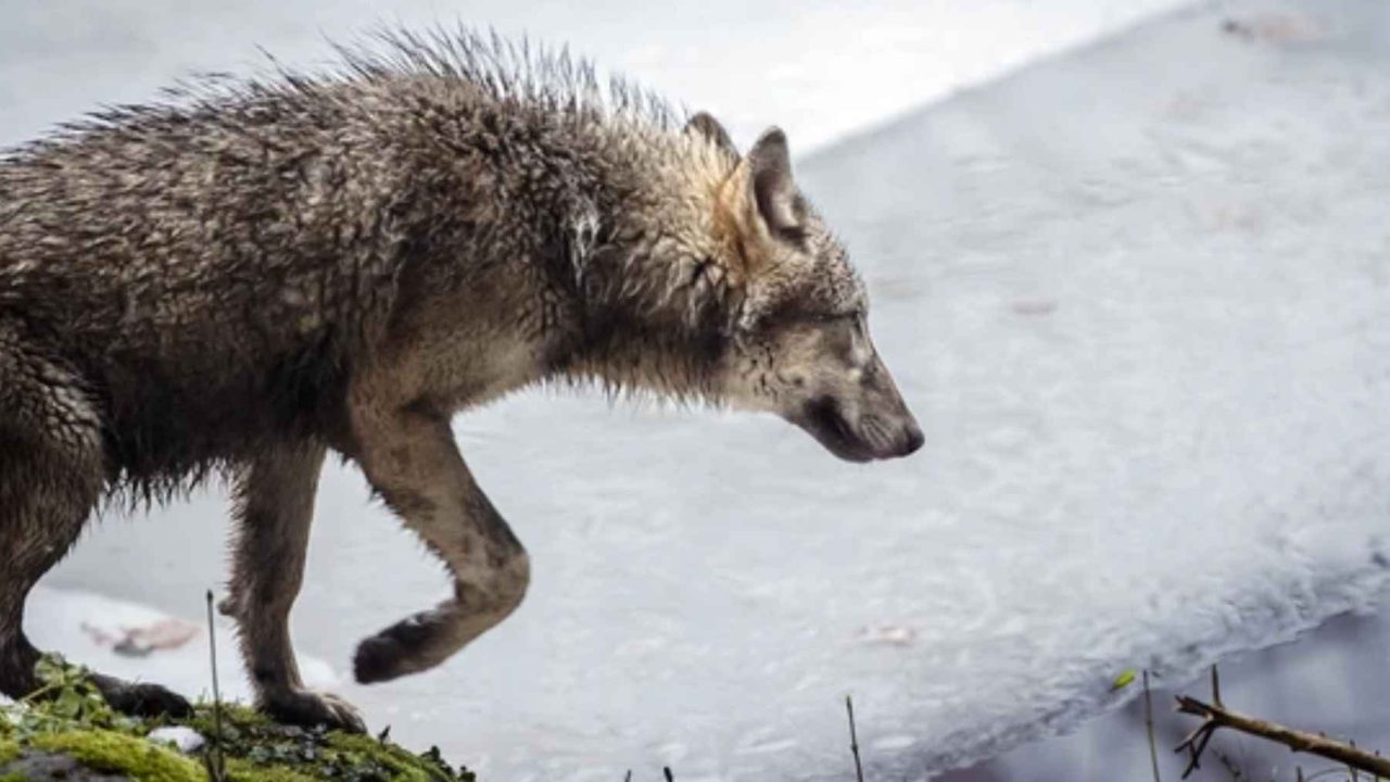
A GPS ping appearing in the middle of a Swiss lake stopped researchers cold. The data showed a wolf — not on a shoreline, not near a bridge — but right in the center of Lake Lucerne, apparently mid-swim through water barely above freezing.
That single data point turned out to be one of the most remarkable wildlife observations recorded in Switzerland in recent memory. A male wolf designated M637 had apparently done something researchers had never confirmed before: he swam across Lake Lucerne, covering roughly 0.93 miles (1.5 kilometers) of open water in 41°F (5°C) conditions on February 13, 2026.
It sounds like something out of a nature film. But the GPS collar M637 was wearing made it verifiable — and that changes what scientists thought they understood about how wolves navigate modern Europe.
What M637 Actually Did — and Why It’s a First
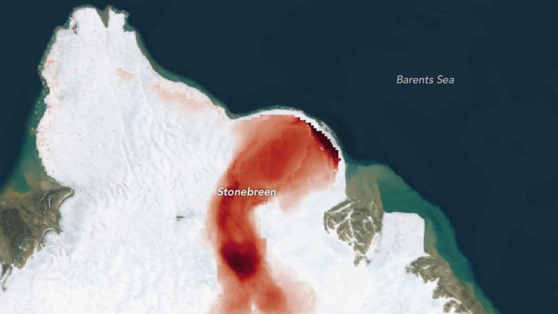
According to GPS data analyzed by the KORA Foundation, the Swiss organization that monitors large carnivores, M637 entered Lake Lucerne near Küssnacht and emerged on the opposite shore roughly a mile and a half later. The movement data included a location ping appearing directly in the middle of the lake — not along the shoreline, not near any crossing point.
Lucerne canton officials confirmed the data, describing it as the first confirmed case of a wolf swimming across this Swiss lake. That’s a significant designation. Lake Lucerne is not a narrow river or a shallow stream. It’s a large, deep alpine lake in one of Switzerland’s most densely populated regions.
The water temperature at the time was approximately 41°F (5°C). To put that in perspective, that’s cold enough that an unprepared human would begin losing muscle coordination within minutes of immersion. For M637, it appears to have been a calculated shortcut.
Rather than circling the lake’s bays by land — a route that would have added significant distance through human-populated terrain — the wolf chose the most direct line. Straight across.
The Data Behind the Discovery
GPS collar technology is what made this observation possible at all. Without it, a wolf swimming across a lake in the dead of winter would leave no trace that researchers could later verify. The collar M637 was fitted with by KORA transmitted location data at regular intervals, creating a trail of coordinates that told the story.
| Detail | Confirmed Data |
|---|---|
| Wolf identifier | M637 (male) |
| Date of crossing | February 13, 2026 |
| Distance swum | Approximately 0.93 miles (1.5 km) |
| Water temperature | Approximately 41°F (5°C) |
| Entry point | Near Küssnacht |
| Monitoring organization | KORA Foundation |
| Classification | First confirmed lake crossing by a wolf at this location |
The ping appearing in the middle of the lake was the critical piece. It ruled out the possibility that M637 had simply walked along the shore and the GPS had drifted. The data pointed to open water, in the center of the lake, at a time when the wolf was actively moving.
What This Tells Us About How Wolves Move Through Europe
M637’s crossing isn’t just a curiosity — it carries real scientific weight. Researchers describe the event as a rare, data-backed snapshot of how dispersing wolves move through human-shaped landscapes.
Wolves in Europe don’t have the luxury of vast, uninterrupted wilderness. Switzerland is one of the most densely developed countries on the continent. Roads, towns, farms, and tourist infrastructure carve up the terrain in every direction. A wolf trying to move from one region to another faces a constant series of obstacles.
What M637’s behavior suggests is that wolves may actively weigh their options — and sometimes, a freezing lake is the better choice compared to navigating populated land. The swim was risky. But circling the bays by land would have meant more exposure, more distance, and more encounters with human activity.
- Dispersing wolves regularly travel long distances to establish new territories
- Human infrastructure often forces wildlife to find unconventional routes
- GPS collar data provides the only reliable way to confirm aquatic crossings like this one
- The KORA Foundation uses collar data to track how wolves recolonize Switzerland
Officials have noted that this kind of observation helps build a more accurate picture of wolf dispersal patterns — information that matters for conservation planning, land management, and understanding where wolf populations may expand next.
Why This Moment Matters Beyond Switzerland
Wolf recolonization is a politically charged topic across Europe. As populations recover and animals push into new territories, debates about coexistence, livestock protection, and wildlife corridors have intensified in several countries.
M637’s swim adds a layer of complexity to that conversation. It demonstrates that wolves are not simply following predictable land-based routes that humans can easily anticipate or manage around. They are adaptive, willing to take on physical challenges — including icy open water — to find the path that works.
For researchers, each GPS-confirmed crossing like this one refines the models used to predict where wolves will go next. For policymakers, it underscores the importance of maintaining natural connectivity across landscapes, even in regions where lakes, highways, and development seem like permanent barriers.
The fact that this happened in a country as built-up as Switzerland makes it particularly striking. If a wolf can cross Lake Lucerne in February, the assumptions about what constitutes a natural barrier may need revisiting.
What Comes Next for M637 and Wolf Research
M637 continues to be tracked by the KORA Foundation following the crossing. Where he went after emerging on the far shore of Lake Lucerne has not been detailed in the confirmed reporting, but his collar will continue transmitting data as long as it remains functional.
Researchers will likely use this event as a reference point in future studies of wolf movement in alpine environments. A single confirmed lake crossing doesn’t rewrite the science, but it adds a documented data point that will inform how wildlife corridors are mapped and how dispersal models are constructed going forward.
For now, M637 has done something no wolf in Switzerland had done on record before — and the GPS trail he left behind tells the whole story.
Frequently Asked Questions
Who is M637?
M637 is a male wolf fitted with a GPS collar by the KORA Foundation, the Swiss organization responsible for monitoring large carnivores in Switzerland.
How far did the wolf swim across Lake Lucerne?
According to GPS data, M637 swam approximately 0.93 miles (1.5 kilometers) across the lake on February 13, 2026.
How cold was the water when the wolf crossed?
The water temperature was reported at approximately 41°F (5°C) at the time of the crossing — cold enough to be genuinely dangerous for extended swimming.
Has a wolf ever done this before at Lake Lucerne?
Lucerne canton officials and the KORA Foundation describe this as the first confirmed case of a wolf swimming across Lake Lucerne.
Why did the wolf swim across instead of going around?
Researchers suggest M637 chose the most direct route rather than circling the lake’s bays by land, consistent with how dispersing wolves navigate human-shaped landscapes.
Who confirmed the crossing?
The crossing was confirmed through GPS data analyzed by the KORA Foundation and acknowledged by Lucerne canton officials.


Leave a Reply