
A 303-kilometer rail corridor is quietly reshaping the southern tip of Mexico — and it could change how global trade moves between two oceans without a single ship passing through a lock.
The Interoceanic Corridor of the Isthmus of Tehuantepec is Mexico’s answer to a question that has haunted shipping executives and logistics planners for decades: what happens when the Panama Canal can’t keep up? The answer, according to Mexican officials, runs straight across one of the narrowest stretches of land in the Western Hemisphere.
Bulldozers and rail crews are already on the ground. Millions of tons of earth are being moved. And the ambition behind this project is anything but modest.
What the Interoceanic Corridor of the Isthmus of Tehuantepec Actually Is
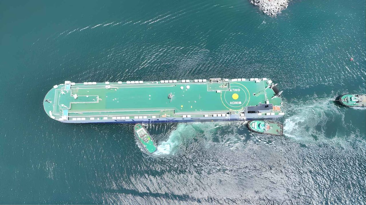
The corridor connects two ports on opposite sides of Mexico: Salina Cruz on the Pacific coast and Coatzacoalcos on the Gulf of Mexico. Between them, upgraded rail tracks, highways, and a string of industrial parks are being developed into what officials describe as a modern dry canal — a land-based alternative to the water route through Panama.
The main rail line stretches just over 300 kilometers and is engineered to complete port-to-port journeys in under six hours. That’s containers moving from one ocean to the other faster than most cross-city freight deliveries in a congested metropolitan area.
Officials have noted that the system is designed for heavy container trains, with planning documents describing a logistics platform capable of eventually moving around 1.4 million containers per year. For context, that’s a substantial slice of regional trade volume — enough to matter to shipping companies weighing their route options.
The pitch to global shippers is straightforward: trains move large volumes of freight using far less fuel per ton mile than ocean vessels, and there are no locks, no drought restrictions, and no canal traffic jams.
Why the Panama Canal Comparison Matters Right Now
The Panama Canal has long been the default route for container traffic between the Atlantic and Pacific. But it has a fundamental vulnerability that no engineering fix can fully solve — it depends on water. Drought conditions have repeatedly forced canal authorities to restrict vessel drafts and limit daily transits, creating backlogs and cost spikes that ripple through global supply chains.
Mexico’s corridor sidesteps that problem entirely. Rail doesn’t need rainfall. It doesn’t care about reservoir levels. And the Isthmus of Tehuantepec, at its narrowest point, offers one of the shortest overland distances between the two oceans anywhere in the Americas.
The project is being positioned not as a replacement for the Panama Canal, but as a resilient alternative — a second option for shippers who need reliability over the cheapest possible per-mile rate.
Key Facts About the Corridor at a Glance
- Total rail distance: approximately 303 kilometers
- Pacific terminus: Port of Salina Cruz
- Gulf terminus: Port of Coatzacoalcos
- Projected transit time: under six hours port to port
- Projected annual capacity: approximately 1.4 million containers
- Infrastructure includes: upgraded rail tracks, highways, and industrial parks
| Feature | Isthmus of Tehuantepec Corridor | Panama Canal |
|---|---|---|
| Type | Land-based rail corridor (dry canal) | Water canal with locks |
| Distance | ~303 km by rail | ~82 km by water |
| Transit time (planned) | Under 6 hours | Varies; typically 8–10 hours in transit |
| Water dependency | None | High — reservoir levels affect capacity |
| Projected container capacity | ~1.4 million per year | Hundreds of millions of tons annually |
Note: Panama Canal figures represent general background context, not source-cited data.
The Part of This Story That Doesn’t Make the Press Releases
The corridor cuts through a region that is also one of Mexico’s most ecologically significant zones. The Isthmus of Tehuantepec sits within a broader biodiversity hotspot, and large-scale infrastructure development — rail upgrades, new industrial parks, expanded port facilities — carries real environmental costs that official planning documents rarely lead with.
Moving millions of tons of earth to reshape a 303-kilometer corridor through southern Mexico isn’t a neutral act. The construction footprint alone affects land, water systems, and communities that have existed in that landscape long before any logistics planner drew a line on a map.
Supporters argue that the economic benefits — jobs, regional development, industrial investment — outweigh the disruption. Critics of large infrastructure projects in ecologically sensitive areas consistently push back on that framing, arguing that the long-term costs to ecosystems and indigenous communities rarely appear in the project’s official accounting.
Both arguments are real. And both deserve attention as this corridor moves from construction phase toward operation.
What Happens When This Corridor Goes Live
The immediate practical effect, if the project delivers on its targets, would be a new competitive option for container shipping between the Pacific and the Gulf of Mexico. Shipping companies, manufacturers, and logistics operators in North America would have a land-based route that doesn’t depend on canal water levels or lock availability.
For Mexico, the stakes are even larger. Successfully operating a corridor capable of handling 1.4 million containers annually would establish the country as a genuine node in global trade infrastructure — not just a manufacturing base for export, but an active transit corridor between oceans.
The industrial parks planned along the route are designed to capture additional value: goods could theoretically be processed, assembled, or stored along the corridor rather than simply passing through. That’s the difference between a transit corridor and an economic development engine.
Whether the project delivers on that vision depends on execution — something that large infrastructure projects in any country have a complicated track record with. The construction is underway. The ambition is clearly stated. The next chapter is whether the trains run on time.
Frequently Asked Questions
What is the Interoceanic Corridor of the Isthmus of Tehuantepec?
It is a 303-kilometer rail corridor in southern Mexico connecting the Pacific port of Salina Cruz with the Gulf of Mexico port of Coatzacoalcos, designed to function as a land-based alternative to the Panama Canal.
How long will it take to move containers from one coast to the other?
According to official planning documents, the rail system is engineered for port-to-port journeys in under six hours.
How many containers can the corridor handle?
Planners say the system could eventually move around 1.4 million containers per year.
Does this replace the Panama Canal?
Officials present it as a complementary alternative rather than a direct replacement, offering a route that is not dependent on water levels or lock availability.</p


Leave a Reply